


01
Computer Science
Master the foundations of software development, algorithms, and system architecture to build the next generation of digital solutions.
Learn More
02
MOST POPULAR
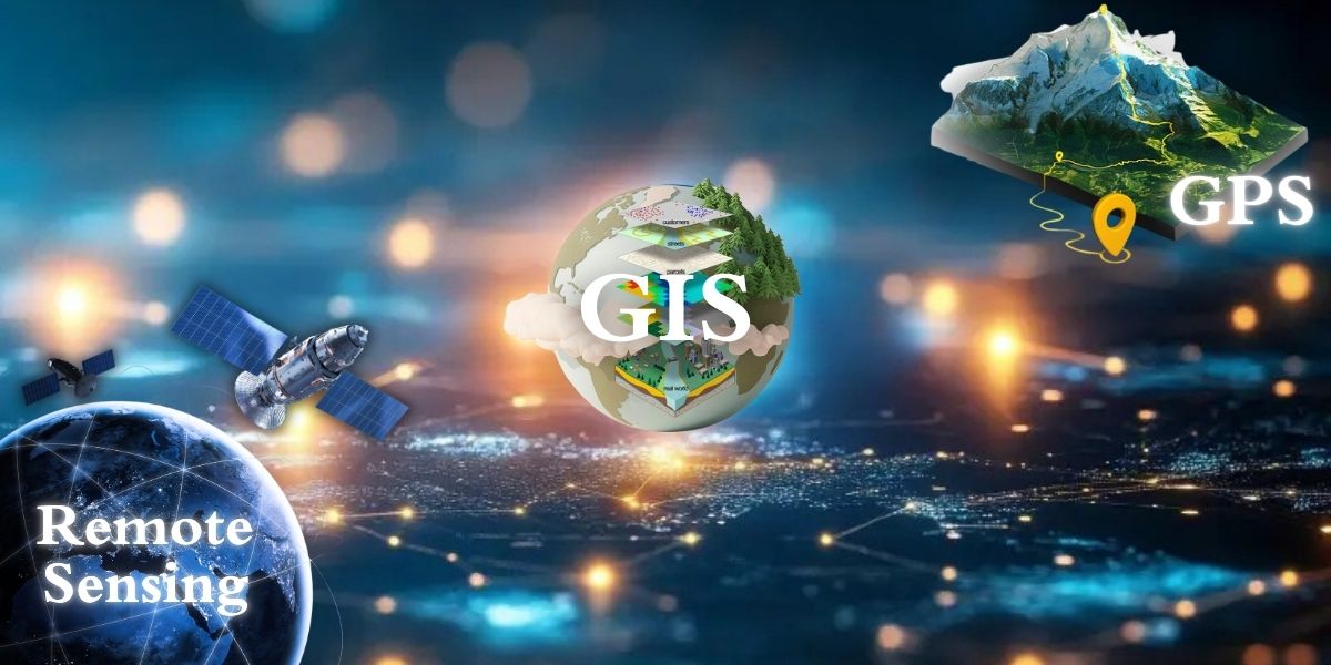
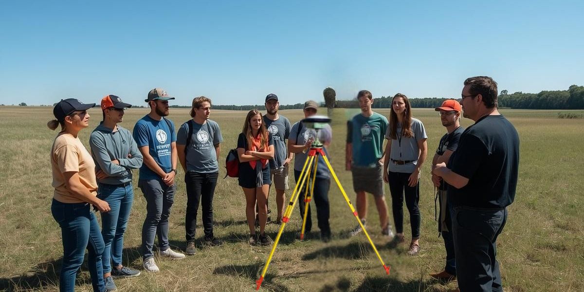
Remote Sensing
Advanced satellite data analysis, image interpretation, and earth observation techniques for real-world applications.
Learn More
03
AI Integration
Empowering technologies with artificial intelligence, machine learning, and automated intelligent workflows.
Learn More